No products in the basket.
Return to shop
A verbal and visual map of London’s ‘cottages’
By PRY, Paul [pseud. of Thomas BURKE] with illustrations by Philip GOUGH, 1937
The first atlas printed in Germany, the first atlas made from woodcut blocks, the first to contain hand-coloured maps and the first mapping of the world by a named cartographer
By PTOLEMAEUS, Claudius, 1482
“the first true atlas” in a contemporary Plantijn binding
By ORTELIUS, Abraham, 1603
In the footsteps of Hannibal: the first route map through the Alps
By SIGNOT, Jacques, 1515
Jewish East London
By ARKELL, George E., 1899
Adrichom’s Holy Land in superb contemporary hand-colour
By ADRICHOM, Christiaan van, 1590
“… the first hint of Columbus’s discoveries on a printed world map.”
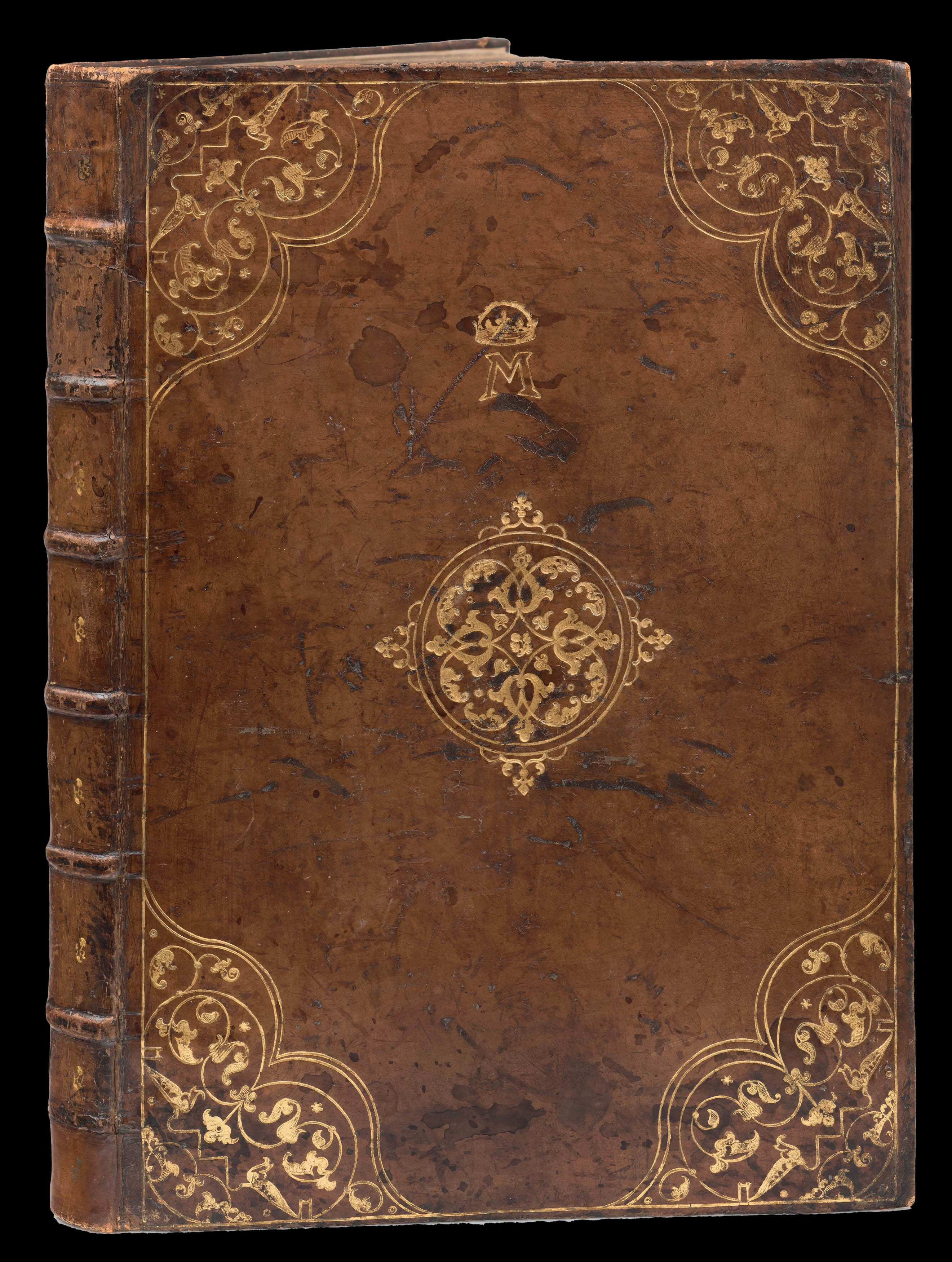
By REISCH, Gregor, 1504
Travels in French food and wine
By DE PÉRIGORD, A.B. [Horace RAISSON and Léon THIESSÉ], 1827
Rare English edition of Colom’s Mediterranean Sea pilot
By COLOM, Arnold, 1660
“the principal cartographic authority on China during the eighteenth century”
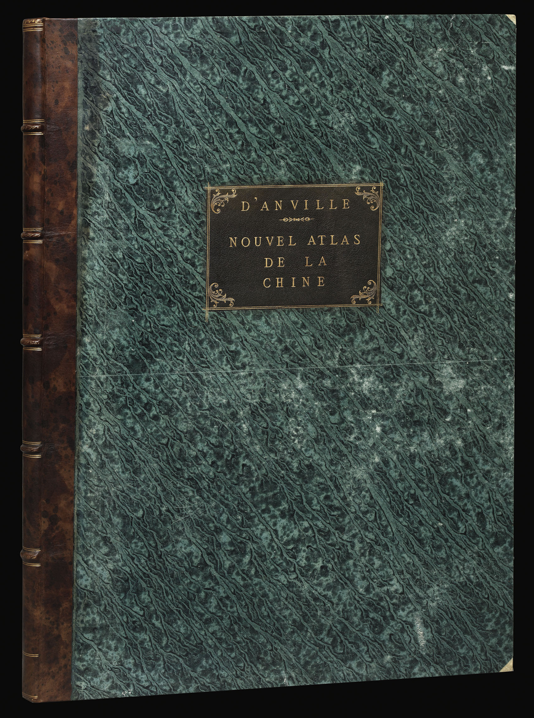
By D'ANVILLE, Jean Baptiste Bourguignon, 1737
The first ‘atlas’
By MERCATOR, Gerard; Jodocus HONDIUS, 1613
An unique magnificent coloured astronomical work from the library of Mary, Queen of Scots
By BASSANTIN, Jacques, 1557
Username or email address *Required
Password *Required
Remember me Log in
Lost your password?
Email address *Required
A link to set a new password will be sent to your email address.
Your personal data will be used to support your experience throughout this website, to manage access to your account, and for other purposes described in our privacy policy.
Register