No products in the basket.
Return to shop
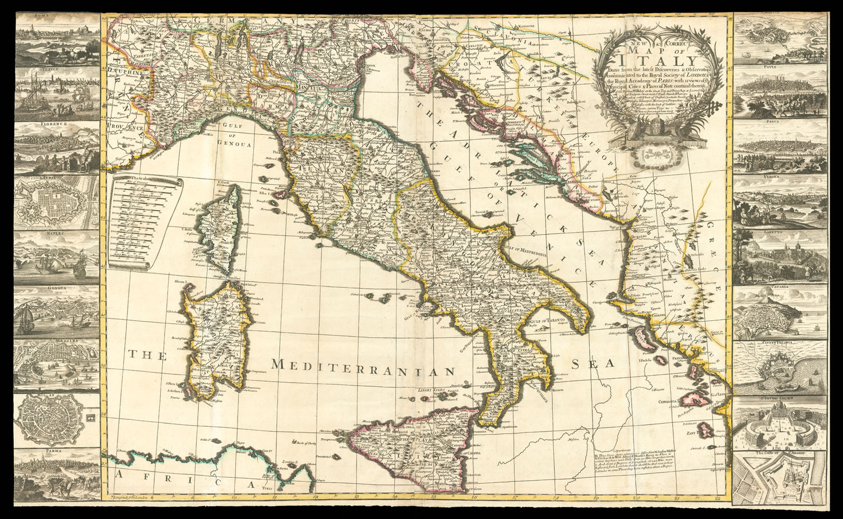
“… they have made Italy above 130 Miles longer than it realy is.”
By WILLDEY, George, [c.1715].
Willdey’s map of Ireland
By [PARKER, Samuel], attributed to, [c1710].
One of only six known examples of the Saxton/Willdey atlas, here extra-illustrated with Willdey’s map of the “Roads of England”, and a previously unrecorded edition of William Petty’s maps of the Irish Provinces
By SAXTON, Christopher, [c1732].
Willdey’s map of Oxford
Username or email address *Required
Password *Required
Remember me Log in
Lost your password?
Email address *Required
A link to set a new password will be sent to your email address.
Your personal data will be used to support your experience throughout this website, to manage access to your account, and for other purposes described in our privacy policy.
Register


![[PARKER, Samuel], attributed to<br /> Ireland according to the latest Improvements](https://omega.crouchrarebooks.com/wp-content/uploads/2025/03/16019_1H.jpg)
![[PARKER, Samuel], attributed to<br /> Oxford.](https://omega.crouchrarebooks.com/wp-content/uploads/2025/03/19463_1H.jpg)