
Rare Maps

Rare Atlases

Rare Books

Rare Prints

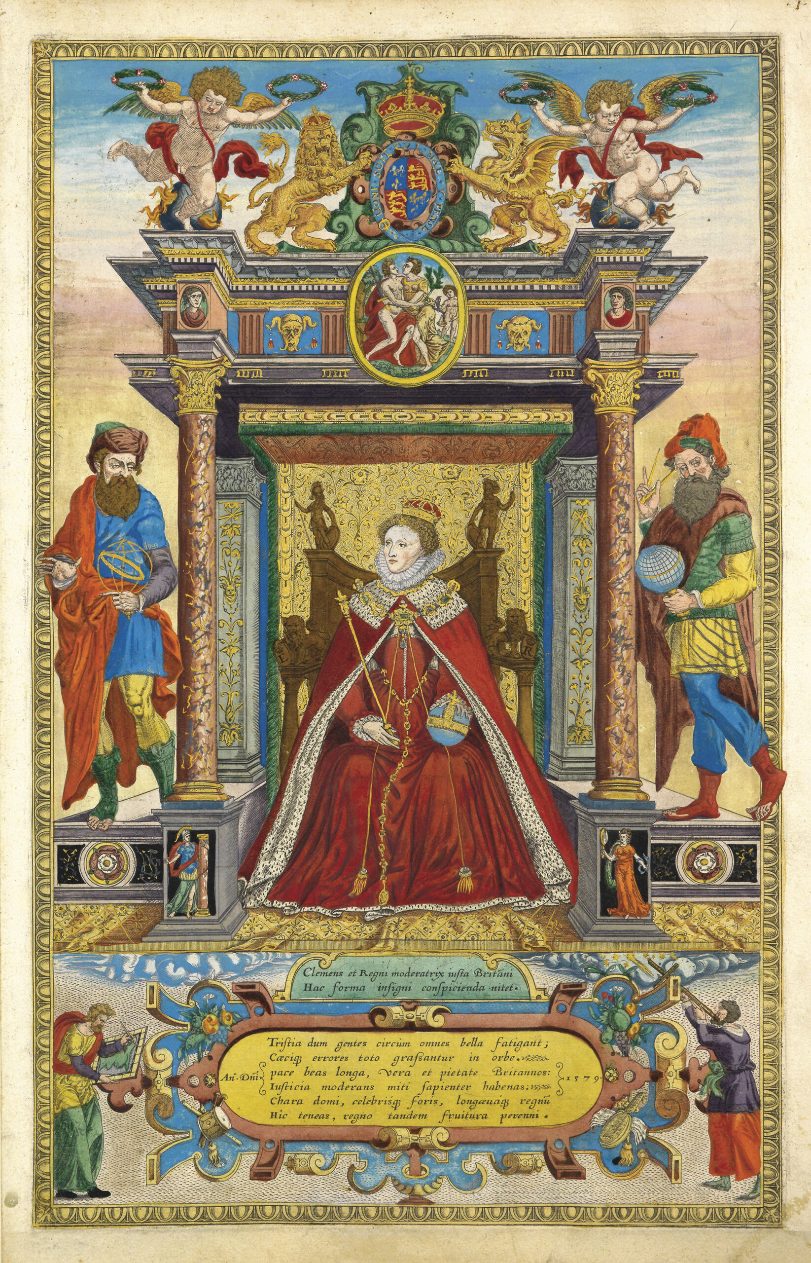
A Christmas exhibition dedicated to maps of the British Isles, including the first printed maps of the counties of England and Wales by Saxton; Speed’s county maps from his ‘Theatre of the Empire of Great Britaine; and the large scale maps by Bryant and Greenwood, among others.
Daniel Crouch Rare Books
4 Bury Street, St James's
London SW1Y 6AB